|
<<Back |
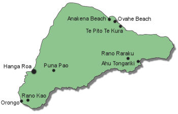
Easter
Island, Chile
Mar 27
- Apr 3, 2011 |
|
|
|
| We knew that 2011 would be a
big year for milestone birthdays. D’s father was
turning 80, and D’s sister would be 40 during the
summer. J also would celebrate a significant birthday
which we will only hint at with vaguery by saying it
was somewhere between 39 and 41. D wanted to go
somewhere special for the occasion, and he ran through
the options – romantic European capital, romantic beach
resort, romantic cruise - but decided on romantic
archaeological wonder. Easter Island seemed like an
ideal destination in that it was remote, had beaches, was
in a region we had not yet been, and was one of the
world’s unique wonders. |
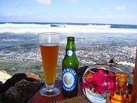
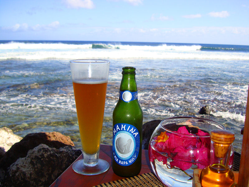
Relaxing seaside with a Mahina
|
|
|
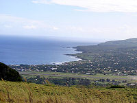
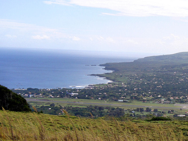
A view of Hanga Roa
|

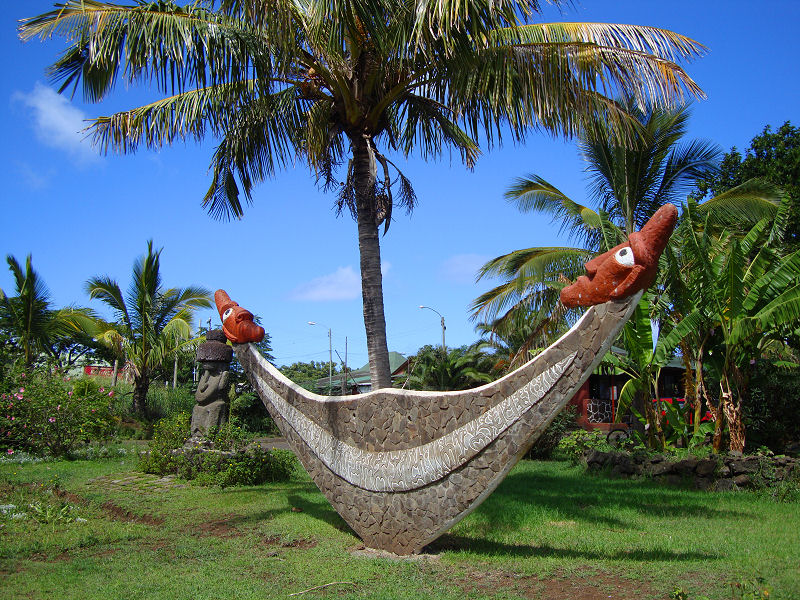
A reimiro - symbol of Rapa Nui
|
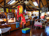
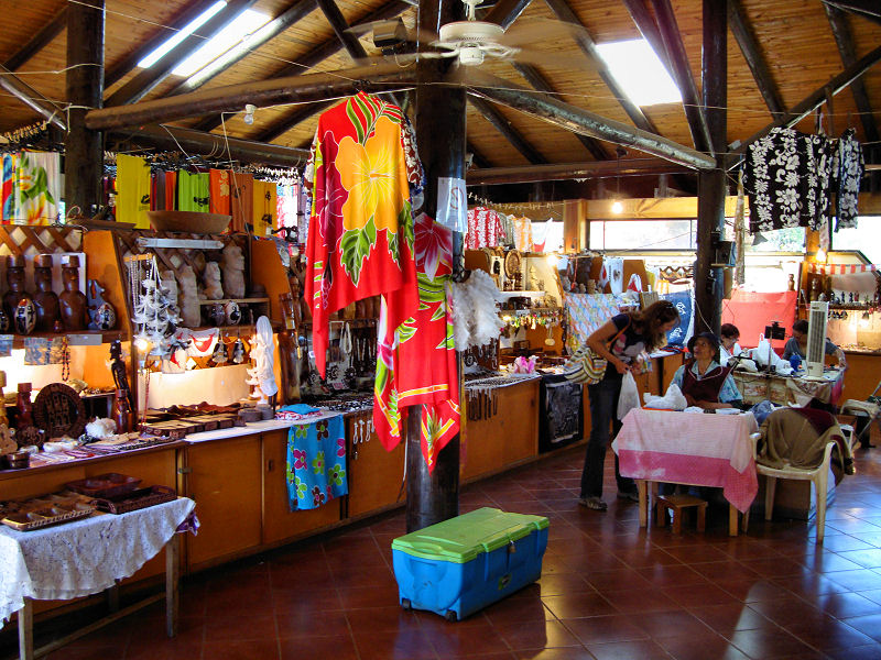
The mercado in Hanga Roa
|
|
|
Getting to the most remote inhabited island on
Earth is no easy task. We had three 6 hour flights
ahead of us that would take an entire day of our
vacation when factoring in layovers. No matter how
many times we have run through the drill in the
past, we seem to be inevitably late getting to the
airport to begin our vacations. This time was no
different. Despite pulling all-nighters to wrap up
some work assignments and to pack, we were running
an hour late in the morning. As D went through his
pre-departure check of the house, he found himself
in ankle deep water in the basement. The hot water
heater was overflowing. We scrambled to figure out
what to do. If we tried to remedy the problem, we
would clearly miss our flight, and the next one
wasn’t for three more days. The whole trip would
have to be cancelled. We were out of time and had
to make a decision. We turned of the water
main, cut-off the gas, and jumped in the car. The
entire mess would have to be dealt with once we got
back.
When we finally
touched down on Easter Island, it was dark, raining,
and 5:30 am. We were both delirious from sleep
deprivation as we held up the line at immigration
filling out landing forms that were presumably
handed out on the plane. Asleep on our feet, we
waited for our bags to come out on the delivery
system that had to be stopped every few minutes
because of pile-ups. We stumbled out of the airport
and into the welcoming arms of Elvira, the
proprietor of our lodgings for the week, who
presented us each with a lei, shuffled us into her
waiting car, and led us to our room for a hot shower
and some shut-eye.
Hanga Roa is the only town on the island, and
exploring it, as we did the following day, one soon
realizes that street names are forsaken for
landmarks. Many businesses don’t have street
numbers so we began referring to streets as “Post
Office Street”, “Market Street, “Gas Station
Street”, etc. What makes this system work is that
there is just about only one of everything.
Like any small town (the population is around
5,000) everyone seems to know each other. The
inhabitants are very friendly and invariably say
“Hola” in passing – even to tourists. The
population soars if you count the dogs that roam
around town. They are pretty friendly, hoping that
a scrap will eventually fall from your table, and
only show their teeth when they approach the
territory of a rival pack. We had a German shepherd
mongrel adopt us during our stay, and she escorted
us through town each day, stopping only when we
hiked out of town or was chased away by a rival.
The universal warning in all of the guidebooks is that
Easter Island is expensive. Everything is shipped in from
Chile, so you can expect to pay about $2 for a soda, $5 for
a beer, and about $70 for a decent meal with drinks. It’s
like living in an airport for a week.
|
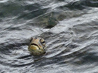
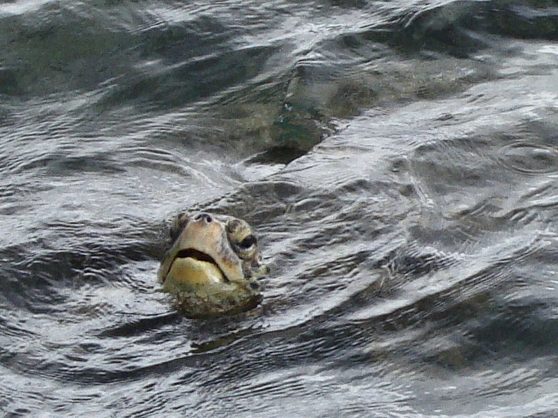
A sea turtle in the harbor
The fauna of Easter Island

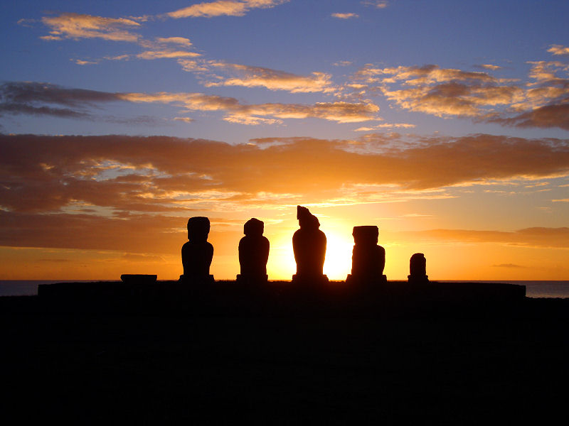
Ahu Tahai at sunset
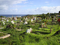
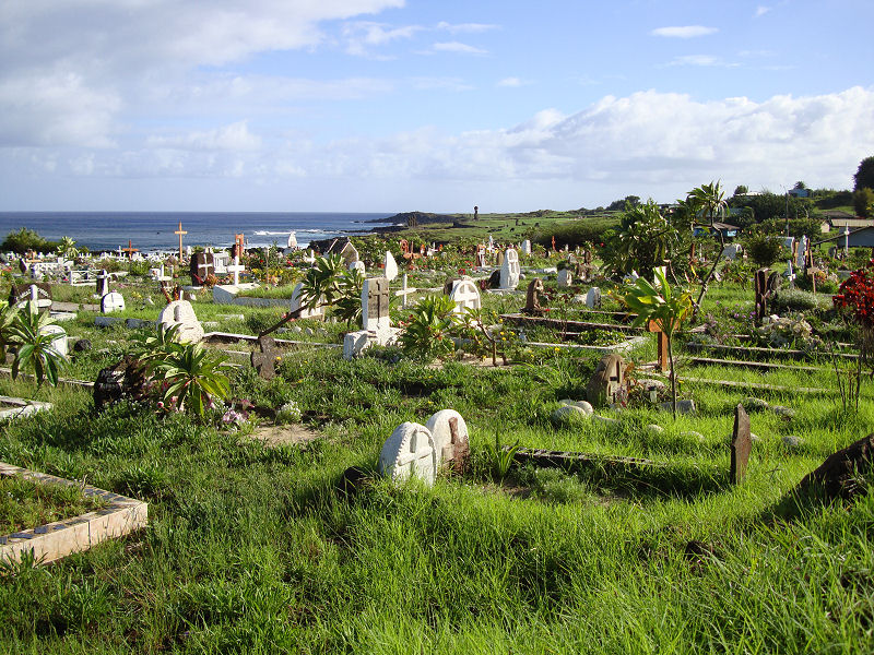
Hanga Roa cemetery
|
|
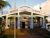
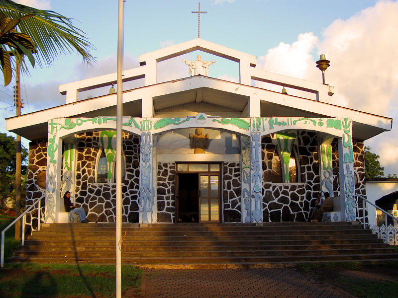
Iglesia Santa Cruz
|
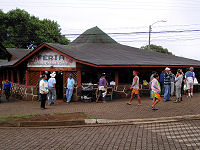
The Feria market
|
Hanga Roa harbor
|
|
|
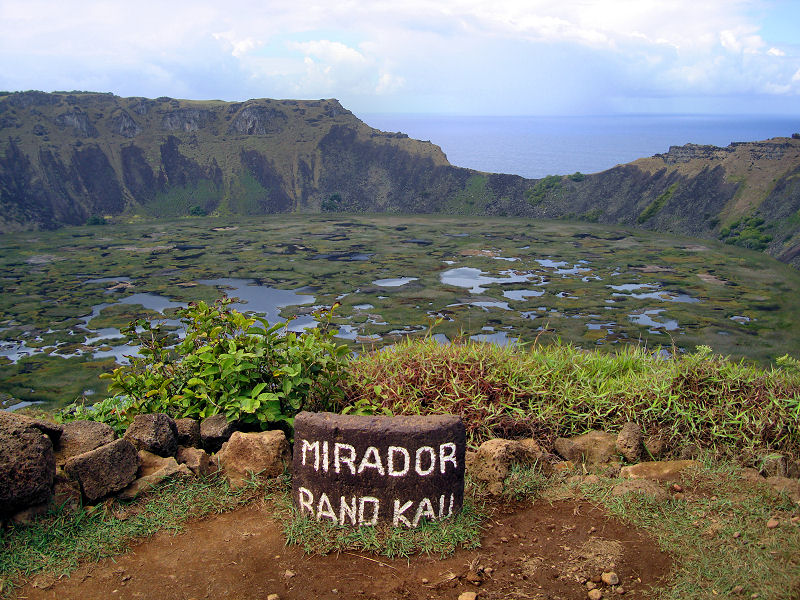
The crater at Rano Kau
|
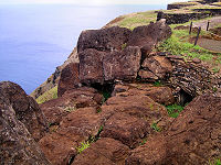
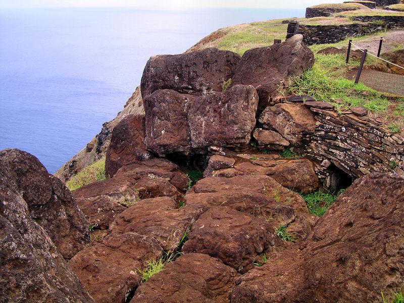
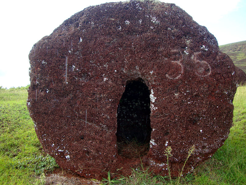
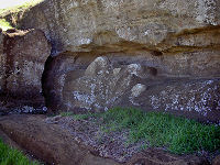
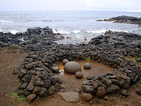
Stone hut entrance
|
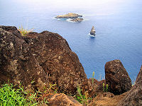
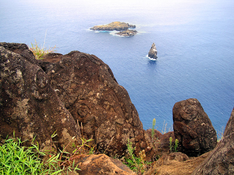
Motu Nui, Motu Iti, and Motu Kao Kao
|
|
|
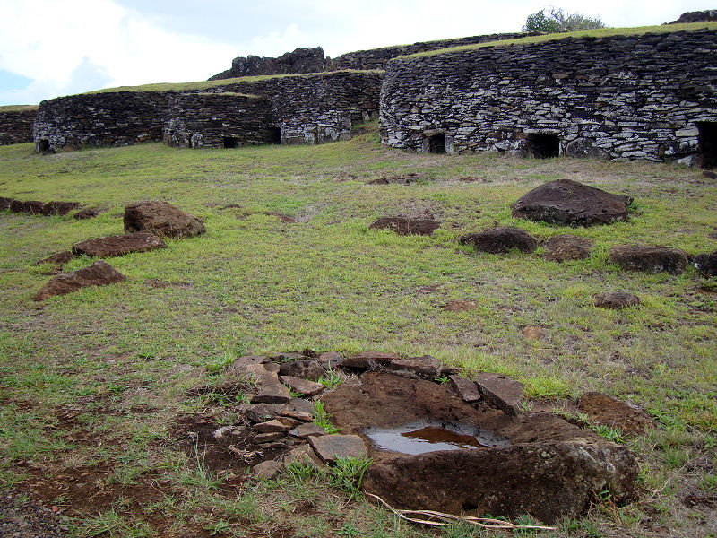
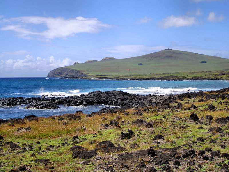
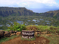
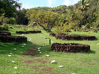
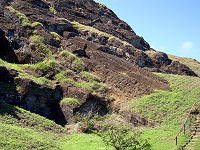
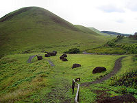
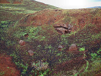
Just south of town
is Rano Kau, the second oldest of three volcanoes
that make up the island. We began around midday to
hike the footpath that led straight up to the
caldera. The views back toward Hanga Roa and the
island beyond were splendid. The caldera itself is
filled with rainwater (the traditional source of
drinking water for the people of Easter Island) with
floating plant islands. Along one side of the
crater situated above the ocean are the ruins of
Orongo. This complex of drystone houses and
petroglyphs served as the central point for the
annual birdman competition to determine the next
island leader. Hopefuls would sponsor contestants
that had to descend the cliff face, swim through a
mile of shark-infested waters to Manu Rapi island to
retrieve an egg from the sooty turn. The first
contestant to return with an egg intact won the
competition and the right for his sponsor to rule
for a year. The stone huts were used by priests to
oversee the competition.
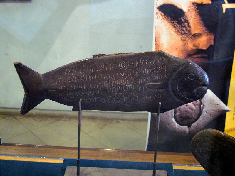
Perhaps dating from
the time of the birdman cult, there are a number of
wooden tablets found that contain glyphs denoting
birds, plants, and animals. The symbols on the
Rongorongo have never been fully deciphered, but the
prevailing theory is that they are sacred
recitations. Sadly, none of the 20 or so remaining
tablets reside on Easter Island having been taken to
museums throughout the world.
|
|
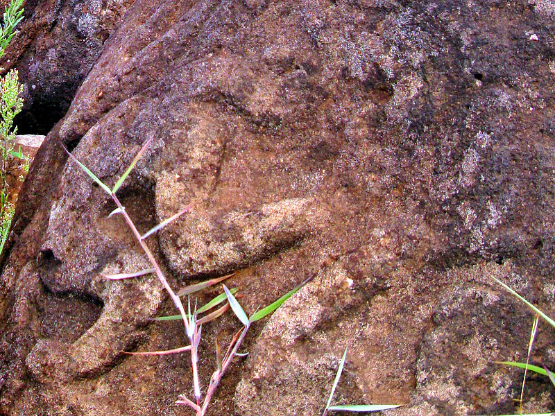
The ceremonial birdman village
|

Birdman petroglyphs
|
Rongorongo tablet
|
|
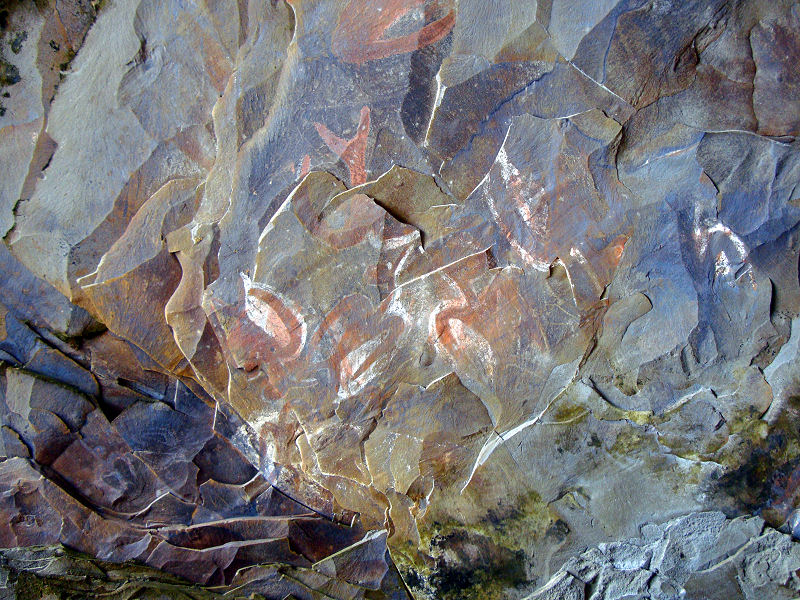
Manavai protect new
plantings
|
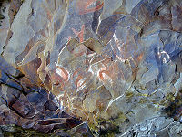
Cave paintings
|
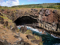
A lava tube cave
|
|
|
Work in progress
|

Moai as far as the eye can see
|
Toppled moai at Ahu Akahanga
|
|
|
We decided to rent a
jeep to reach some of the more distant points of the
island. Not only did this give us the convenient
mobility we would need to see what we wanted, it
also provided us with a safe haven should a sudden
rainstorm pop up. We swung out to the eastern side
of the island to stop at Ahu Akahanga. It seemed
that we were working our way back in time, but prior
to the development of the birdman cult, the
islanders engaged in ancestor worship which resulted
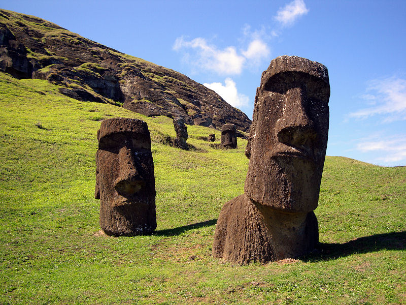
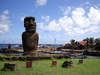
in the carving and placement of the famous moai
statues. These statues were placed on raised stone
platforms called ahu under which burial chambers
were created. It is believed that the moai
represented the dearly departed and since Polynesian
culture puts an emphasis on the human head, the
heads of the statues are disproportionate in size.
Theories suggest that this statue building era ended
badly with warring clans pulling down each other’s
moai. This is evidenced by the journals of passing
European ships that recorded fewer and fewer moai
left standing over time.
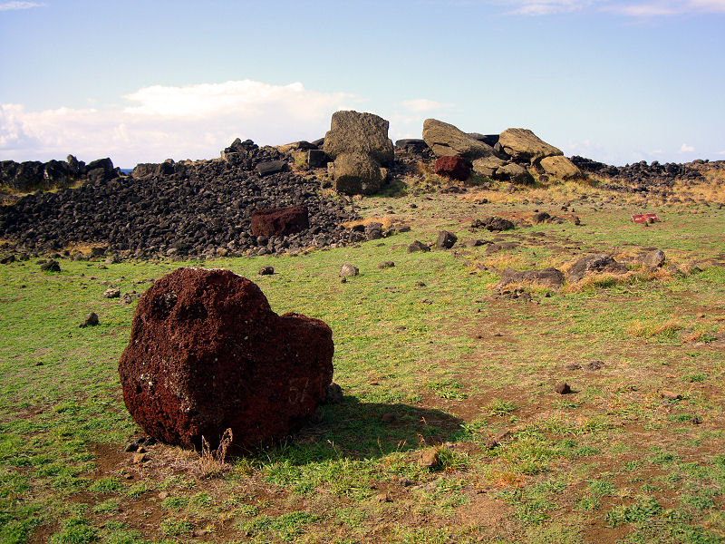
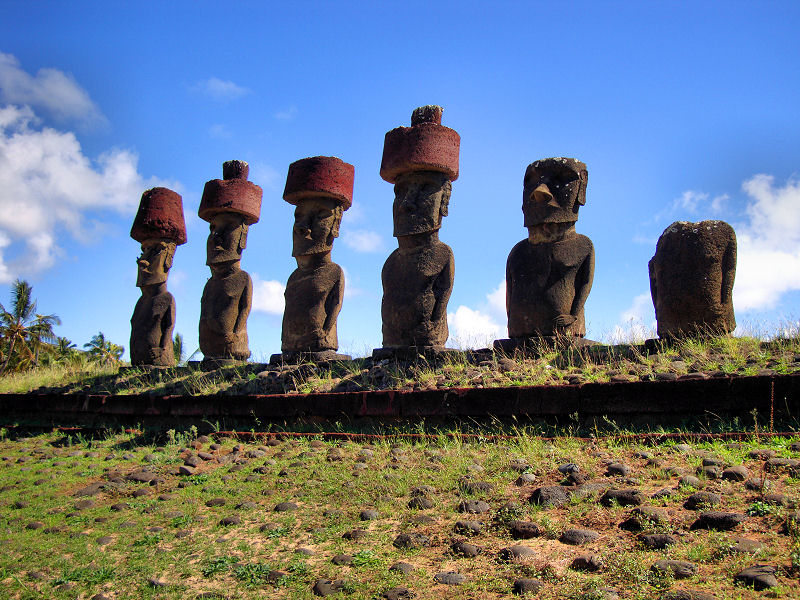
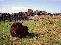
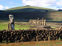
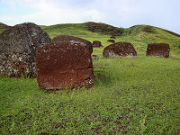
While a number of moai have been restored to their
ahus, those at Ahu Akahanga still lay where they
were toppled. Before pulling down the statue, a
pile of stones was placed in such a way that the
head would snap off at the neck – a symbolic
gesture. Top knots, the red scoria stones
representing the statues hair, rolled away from the
ahu to their current positions. It’s all rather
tragic that the effort of carving the moai,
transporting them across the island, and mounting
the top knots was all undone by warring clans. What
could have precipitated such destruction? While
nobody knows for sure, legend says that it was a
clash between the ruling Long Ear class and the
subservient Short Ears. The Long Ears, so-called
because of their elongated earlobes produced by
inserting discs, commissioned many of the moai as
indicated by the elongated ears visible on the
statues. The lower class Short Ears were charged
with carving, transporting, and erecting the moai.
Early theories claimed that the island was
almost completely deforested during this statue
building era, making it one of the most infamous
examples of ecocide ever known. Food became scarcer
as new fishing boats could no longer be constructed
and anarchy ensued. There are even legends of
cannibalism during this time. Modern theories
profess a combination of causes such as the
proliferation of the rat population that fed on palm
nuts, conversion of forest to farmland, and even a
decline in the sea bird population responsible for
producing the guano that fertilized the island.
The legend of the Long Ears and Short Ears
culminates in a great massacre near the Poike
Peninsula. The Long Ears dug a long wood-filled
trench to which they intended to lure the Short Ears
to a fiery death. In true romantic fashion, the
plan, was foiled by a Long Ear woman who loved a
Short Ear man, and it was the over-bearing Long Ears
who were exterminated in the end.
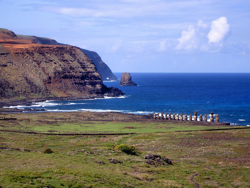
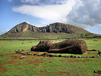
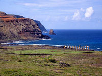
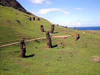
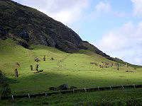
Adjacent to the Poike Peninsula is Ahu Tongariki,
the largest ahu with moai restored to their original
positions with help from the Japanese government.
There are fifteen statues altogether, and the site
resembles a rugby team standing at attention for the
national anthem. We thought this ahu gave one the
best impressions as to the scale of human achievement
that the Rapa Nui people were able to attain.
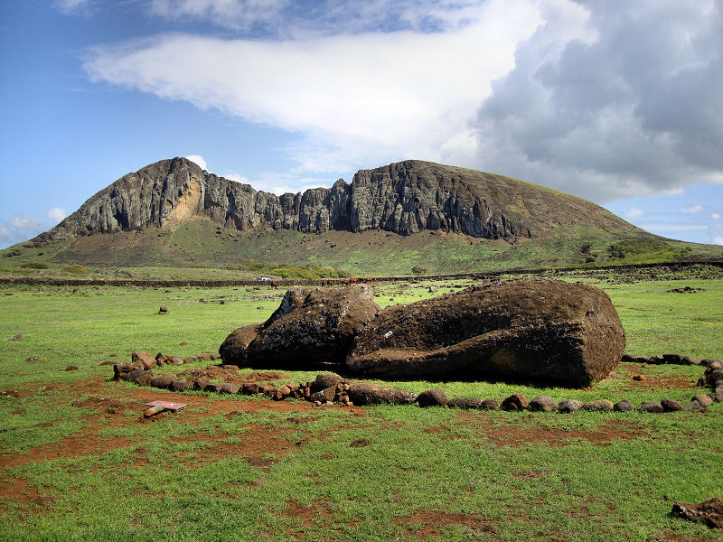
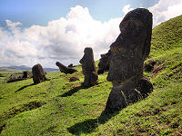
Just inland from Ahu
Tongariki is the volcanic crater known as Rano
Raraku. The basaltic rock here is somewhat softer
than other parts of the island, and this cone was
used as the quarry to carve the vast majority of
moai. Walking the path leading around the caldera
is like a stroll through a moai showroom. There are
almost 500 stone heads in varying orientations
strewn around the inside and outside of the cone.
Some are still only partially carved out of the
rock. The largest statue ever carved, dubbed El
Gigante, has part of its 65 ft long body still
connected to the base rock.
From this quarry, the
massive moai were transported to all parts of the
island. While nobody is sure exactly how this was
achieved, many experts agree that it involved wood
and rope from the palm trees and a lot of manpower.
Another mystery is whether the cessation of the
statue-building period was abrupt or gradual. What
many do believe is that the resources consumed in
constructing, transporting, and erecting the moai
put the Rapa Nui civilization in great peril.
|
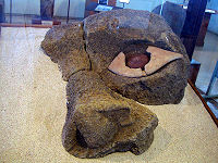
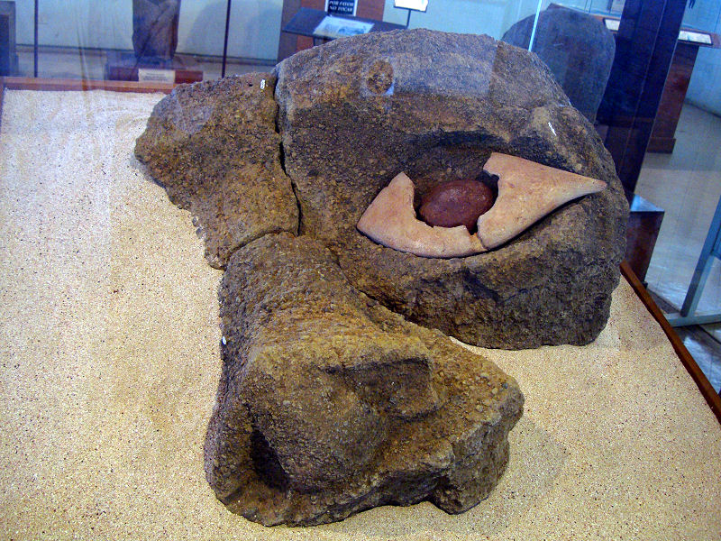
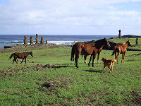
Rare moai eye
Fallen moai and Rano Raraku
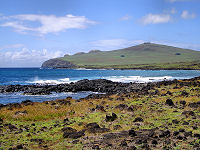
Poike Peninsula
Ahu Tongariki
Ahu Tongariki and the Poike Peninsula

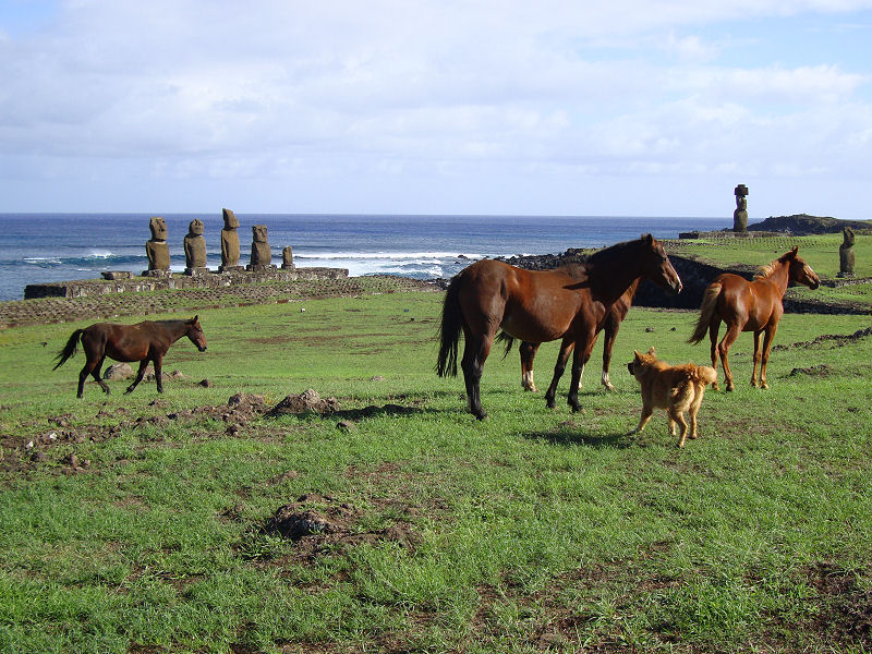
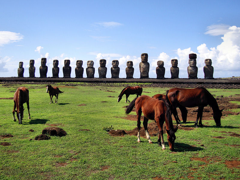
Horses grazing under watchful eyes
The faces of Rano Raraku
|
|
A moai showroom
|
Rano Raraku quarry
|
El Gigante
|
|
|
Puna Pau
|
Unused topknots
|
Inside the quarry
|
|
|
Not too far to the
north of Hanga Roa is the quarry at Puna Pao. We
set out at midday for a moderate hike to check it
out. The porous red scoria from this quarry was
used to create the topknots that adorned many of the
moai. The topknots or pukao represent the hairstyle
of the Rapa Nui people in which they would tie their
long hair in a knot atop their head. Sometimes it
would be dyed using a red slurry of the volcanic
rock on the island.
As we made our way
up the side of the crater, we saw the rain coming.
We scampered back to take cover under one of the few
trees available to wait it out. Despite sunshine
every day we were on the island, there were always
clouds overhead. They would often produce intense
showers that would last 10-15 minutes before
subsiding. It was a nuisance, but it kept the
island lush and verdant. Venturing back into the
open, we were pleased to see that the rainstorm had
washed away some of the dust and enhanced the
reddish color of the quarry.
There are several
pukao lying in and around the quarry left over from
the statue building-era. Since they too had to be
transported to ahu located all over the island, it
was quite normal for them to be rolled to the ahu
and finished onsite. It is believed that not all
moai were capped with topknots, and this adornment
was somewhat of a status symbol and reserved for the
most prominent of moai. Yet another mystery is
whether the pukao were placed on the moai before or
after they were erected on the ahu. Plausible
theories have been proposed for both cases.
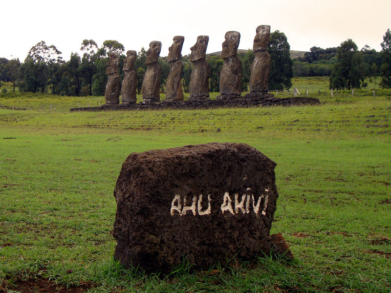
We soldiered on
over some muddy roads to reach the unique Ahu Akivi.
The seven moai here are the only ones that face
outward to the sea, but this may be because they are
on the only inland ahu. They face directly into the
sunset during the Spring Equinox, and it is believed
that they represent the seven member advance party
that Hotu Matua’a sent to scout the island before
his boats of settlers reached the island.
Interestingly, the ahu on which the statues stand
contain what are apparently European ballast stones.
|
|

Topknot
|
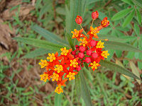
Easter Island flowers
|

Ahu Akivi
|
|
|

Ahu Nau Nau
|
Anakena Beach
|
A few remaining trees
|
|
|
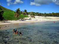
A small peninsula
extends from the northern end of the island
possessing the only two beaches to speak of on
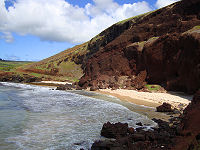
Easter Island. We drove first to Ovahe Beach, the
smaller and more secluded of the duo, and found
ourselves to be the only ones who braved the rocky
climb. The beach was backed by a cliff wall at the
bottom of which was a cave-like opening and at the
top of which were precariously positioned horses
grazing on the edge. We basked in the Pacific sun
for some time as the gentle waves lapped the sand
closer and closer to where we sat. It wasn’t long
before we realized that the morning tide would cut
us off from the access path, so we packed up our
gear and moved to the more popular Anakena Beach on
the other side of the peninsula.
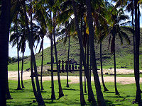
The large
crescent-shaped beach at Anakena is as much a
tourist attraction for the sand and swimming as it
is for the moai that stand guard there. The white
sand, curling waves, and palm trees make it an
idyllic Polynesian picture. Small shacks selling
food and drink stand alongside souvenir stands along
the fringes of the beach, but it was not at all
crowded. There were as many locals as tourists out
to enjoy the fine weather. The principal issue was
the lack of shade. Only a few palm trees were near
enough to the surf to be useful making them highly
coveted. We waited and watched until a small family
began to pack up their gear, and then made our move.
Completing our
journey back in Rapa Nui history, we now found
ourselves on the beach where human inhabitants are
believed to have first come ashore. Local legends
profess that Hotu Matua’a led two large canoes of
Polynesian settlers to the island. While the
traditional timing of the landing is thought to be
around 500 AD, recent researchers excavating the
area put it closer to 1500 AD. From these first
colonists grew a clan-based civilization that is
estimated to have reached 20,000 inhabitants at its
peak. Famine, civil war, disease brought by
European contact, and the slave trade would
eventually cull the population down to slightly more
than 100 islanders at the end of the 19th century.
|
|
Navel of the Earth
|
Ovahe Beach
|
Beach perils
|
|
Copyright © 2005 JnDsTravelog.com. All rights reserved. |
| |